Brasstown Bald, Georgia
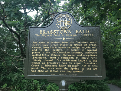
Elevation 4784 Feet (1458 Meters)
Notes
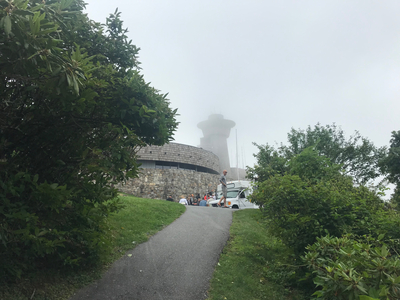
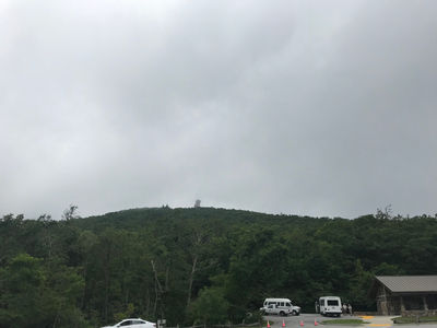
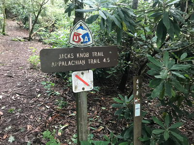
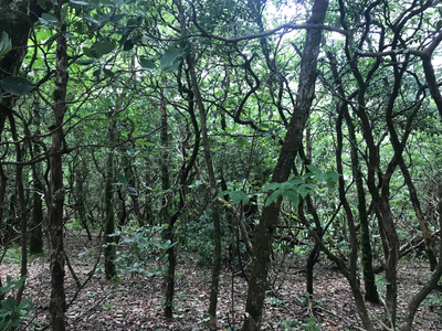
The high point of Georgia is in the Blue Ridge Mountains in the northeastern part of the state. The easiest way to get to the top is by car, but the route I chose was the Jack’s Knob Trail which begins at Jack’s Gap at the intersection of GA-180 and GA-180 Spur. The trail is well marked, and is a fairly steep climb through a thickly forested landscape. As someone that spends most of my time hiking in the western US, I am always suprised by how green, and lush the southeast is. I climbed this in late June and it was super humid. At the top is a huge viewing platform, and you will expect to see a lot of other people up there. It has been said that on a clear day you can see the buildings of Atlanta from the top, although the day I climbed was drizzly and foggy.

