Mount Elbert, Colorado
Elevation 14440 Feet (4401 Meters)
Notes
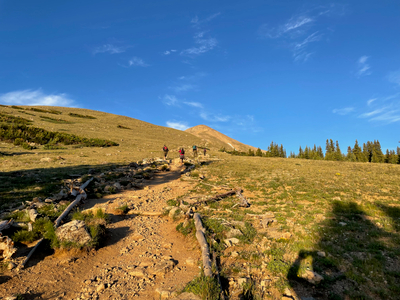
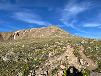
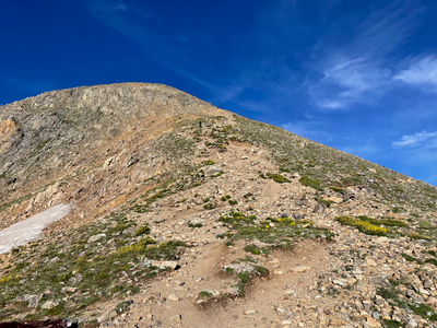
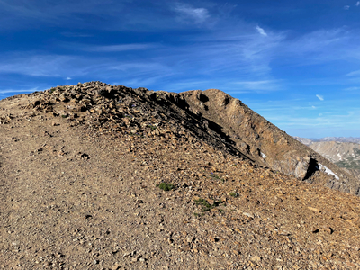
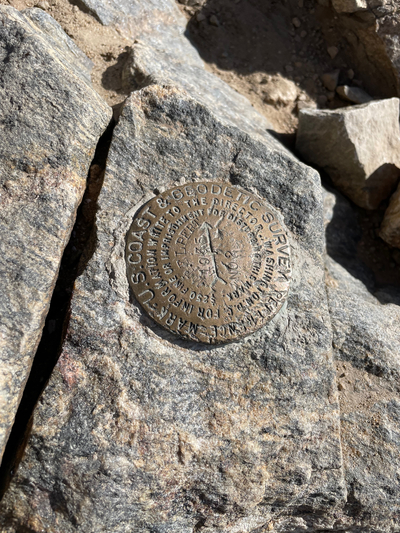
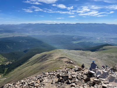
Mount Elbert is the highest peak in Colorado, and is the second highest peak in the lower 48. I wasn’t really sure how to acclimate for this one, so I arrived in Leadville mid-afternoon the day before I hiked, and spent the afternoon walking around town. Leadville is just over 10,000 feet in elevation. The Mount Elbert hike is non-technical, but the high elevation is definitely a factor for this hike. I was on the trail by 4:30AM, trying to avoid any afternoon thunderstorms that happen in this area. As it was, the parking lot was very busy when I pulled up. The hike starts out with a steady climb along the Colorado Trail, and then becomes steep, and then steeper. There are two false summits that trick you into thinking you are almost done. I didn’t have any symptoms of altitude sickness, but you could tell that the air was thinner.

