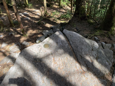
Mount Rogers, Virginia
Elevation 5729 Feet (1746 Meters)
Notes
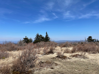
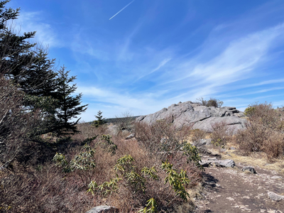
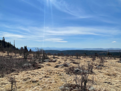
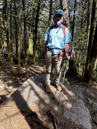
Mount Rogers is one of my favorite high points so far. I started at Grayson Highlands State Park at Massie Gap, and followed the Rhododendron Trail to the Appalachian Trail. Grayson Highlands State Park is home to a herd of ponies, in which the trail to Mount Rogers passes through areas where the ponies were hanging out. The trail was well marked, and went in an out of forest areas into bald areas which afforded views down into the rugged mountains of North Carolina and Tennessee. The actual high point was a rock in a forested area - so there were no views from the actual top. There were a lot of people out on the day that I hiked - lots of people enjoying the warm spring day as well. I forgot to charge my phone before the hike, so my pictures are limited and I did not get any pony pictures.
