Sassafras Mountain, South Carolina
Elevation 3554 Feet (1083 Meters)
Hike Date: Jun. 23, 2019
Route: Sassafras Mountain via Foothills Trail
Distance: 8.4 miles out and back
Elevation Gain: 2185 feet (666 Meters)
Links:
All Trails
|
Foothills Trail Conservancy
Notes
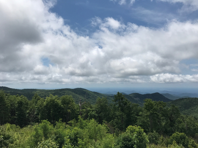
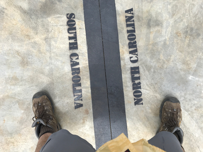
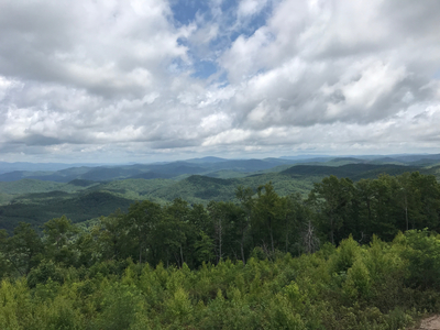
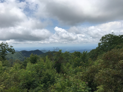
Sassafras Mountain is in the Blue Ridge Mountains in northern South Carolina, on the border with North Carolina. Except for a short hike from the parking lot, the summit is accessible by car. The route I chose to hike this mountain was the Foothills Trail, starting just north of the community of Rocky Bottom on US-178. The trail starts in a canyon along the Eastatoe Creek and is a steep climb to the summit. It was a hot, humid, and sometimes rainy morning when I made this hike. The vegetation along the trail was very lush, it felt like a rainforest. The last quarter of my hike back to the car was a crazy cloudburst that literally felt like it was raining buckets.


